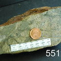
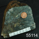
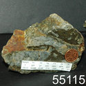
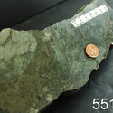
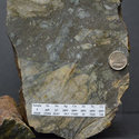
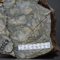
Property Project 167
Location
The Project 167 property comprises of 1156 mining claims covering 611 Sq/km. It is located approximately 320 kilometres north of Chibougamau city in the James Bay region in the heart of Plan Nord territory.
The property covers the southern contact between the Otish Basin and the Superior Province. This part of the property is dominated by Archean granites and granitic gneisses of the Epervanche Complex, flanked to the north by an E-W trending metavolcanic belt of the Tichegami Group consisting mainly of moderately-foliated volcano-sedimentary assemblage metamorphosed to greenshist/lower amphibolites facies. The volcanic, volcaniclastic and metasedimentary rocks are usually interbeded. Few intrusive rocks are observed. In the north part of the Nanisk block, metavolcanics underlie Proterozoic quartz pebble and polymictic conglomerates and sandstones of the Indicator Formation in the Otish Group. The entire Otish Group sequence is intruded by diabase and gabbroic dykes.
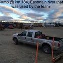
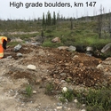
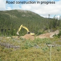
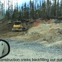
The Plan Nord project was launched to develop Québec’s north, including the construction of a 243 kilometre-long all season road that links Stornoway’s Renard Diamond project to the provincial highway network. Visible Gold Mines’ management decided to aquire the available mining rights along the new road in order to have access to new outcrops and strippings generated by the road construction. The company kept adding claims since and so the project 167 was born.
More about
Project 167
New Phase 3 winter drilling program
View all
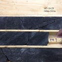
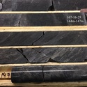
Picture gallery
Project photos

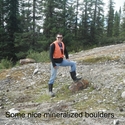
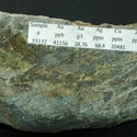
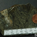
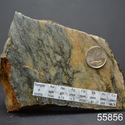
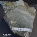
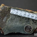
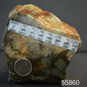
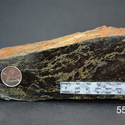
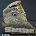
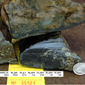
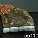
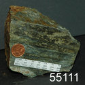
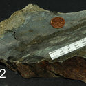
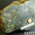
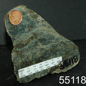
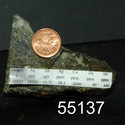
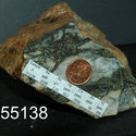
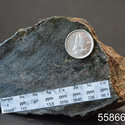
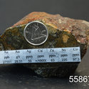
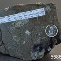
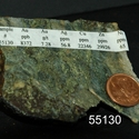
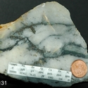
Mineralized boulders

 VGD is focused on
 Strong team